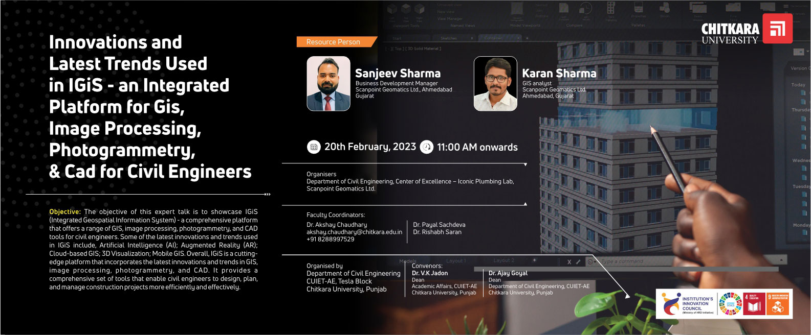
Innovations and latest trends used in IGiS – An Integrated Platform for GIS, Image Processing, Photogrammetry, & CAD for Civil Engineers
Resource Person :
Mr. Sanjeev Sharma, Business Development Manager, Scanpoint Geomatics Ltd., Ahmedabad, Gujarat
Mr. Karan Sharma, GIS Analyst, Scanpoint Geomatics Ltd., Ahmedabad, Gujarat
Organiser :
Department of Civil Engineering, Center of Excellence – Iconic Plumbing Lab, Scanpoint Geomatics Ltd.
Date :
February 20th, 2023 at 11:00 AM onwards
Venue :
Tesla Block, Chitkara University, Punjab
The objective of this expert talk is to showcase IGiS (Integrated Geospatial Information System) – a comprehensive platform that offers a range of GIS, image processing, photogrammetry, and CAD tools for civil engineers. Some of the latest innovations and trends used in IGiS include, Artificial Intelligence (AI); Augmented Reality (AR); Cloud-based GIS; 3D Visualization; Mobile GIS. Overall, IGiS is a cutting-edge platform that incorporates the latest innovations and trends in GIS, image processing, photogrammetry, and CAD. It provides a comprehensive set of tools that enable civil engineers to design, plan, and manage construction projects more efficiently and effectively.


