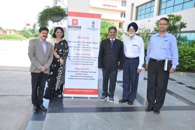
A 21-day Summer School is being hosted by Chitkara University on “Geospatial Technologies” sponsored by Department of Science and Technology, New Delhi.
Geospatial technologies is a term used to describe the range of modern tools contributing to the geographic mapping and analysis of the Earth and human societies. These technologies have been evolving in some form since the first maps were drawn in prehistoric times. In the 19th century, the long important schools of cartography and mapmaking were joined by aerial photography as early cameras were sent aloft on balloons and pigeons, and then on airplanes during the 20th century. The science and art of photographic interpretation and map making was accelerated during the Second World War and during the Cold War it took on new dimensions with the advent of satellites and computers. And we have taken it to all all-new level at the student-level.
Besides the academic programs, there are an array of activities and many social activities to give students an unforgettable experience.
It is also a chance for the students to interact with students from a diverse range of backgrounds and cultures, both in and out of class. They are exposed to a variety of insights and opinions, and form friendships and networks that span the globe.


Chandigarh-Patiala National Highway, Punjab 140 401
Unit No. A 201-202, Elante Mall Office Complex
Industrial Area Phase 1, Chandigarh 160 002
Copyright © 2026 Chitkara Educational Trust
Unit No. A 201-202
Elante Mall Office Complex
Industrial Area Phase 1
Chandigarh 160 002
Chandigarh-Patiala National Highway
Punjab 140 401